Coastal Navigation (ASA 105)
Prerequisites: None but basic sailing experience recommended.
General Description: Navigational theory required to safely navigate a sailing vessel in coastal or inland waters.
Sailing Knowledge
- Explain the chart symbols and conventions on U.S. nautical charts in accordance with international terminology.
- Identify a source of official U.S. Coast Guard navigation publications.
- List the publications and instruments required for prudent navigation in the local area including ASA minimum requirements.
- Use the tide and current tables to find times/heights of tides and direction/rate of current at reference and secondary ports.
- Convert courses and bearings between true, magnetic,and compass.
- Check compass deviation by means such as a transit bearing.
- Plot a dead reckoning position on a chart using speed, time and course to steer.
- Allow for the effect of current and leeway to plot the estimated position.
- Determine a course to steer which takes into account known current and leeway.
- Determine current given the course steered and speed and two observed positions.
- Plot a chart position from terrestrial objects using various types of bearings, transit range and distance off the object.
- Use the above techniques to chart a course of at least 20 miles and 3 course changes.
- Explain the terms and characteristics used for lighted navigation aids.
- Explain the significance of shapes, colors, and lights used in the buoy system.
Sailing Skills
Offshore course for practical application of the Coastal Navigation standard.
Sail With Us to Learn


Week-Long Liveaboard Courses
Rare RYA Classes & Certifications
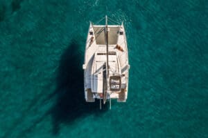
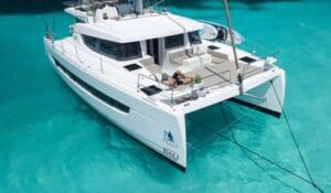
Catamaran Guru’s real-life practical methods combined with up-to-date sailing theory in lessons aboard recent model catamarans…or your own boat!
Prepare for certifications or take the first step aboard to embark on your dream life of boat ownership or cruising
Classes in S Florida and the Bahamas.

Estelle Cockcroft
Catamaran Guru Co-Founder
Estelle Cockcroft is a seasoned sailor, catamaran expert, and co-founder of Catamaran Guru. With over 70,000 NM sailed and 30+ years aboard, she empowers new cruisers with expert advice on liveaboard life, yacht ownership, and ocean adventures.


